
Case Study: Rhododendron Extent and Distribution Survey
Summary of Services
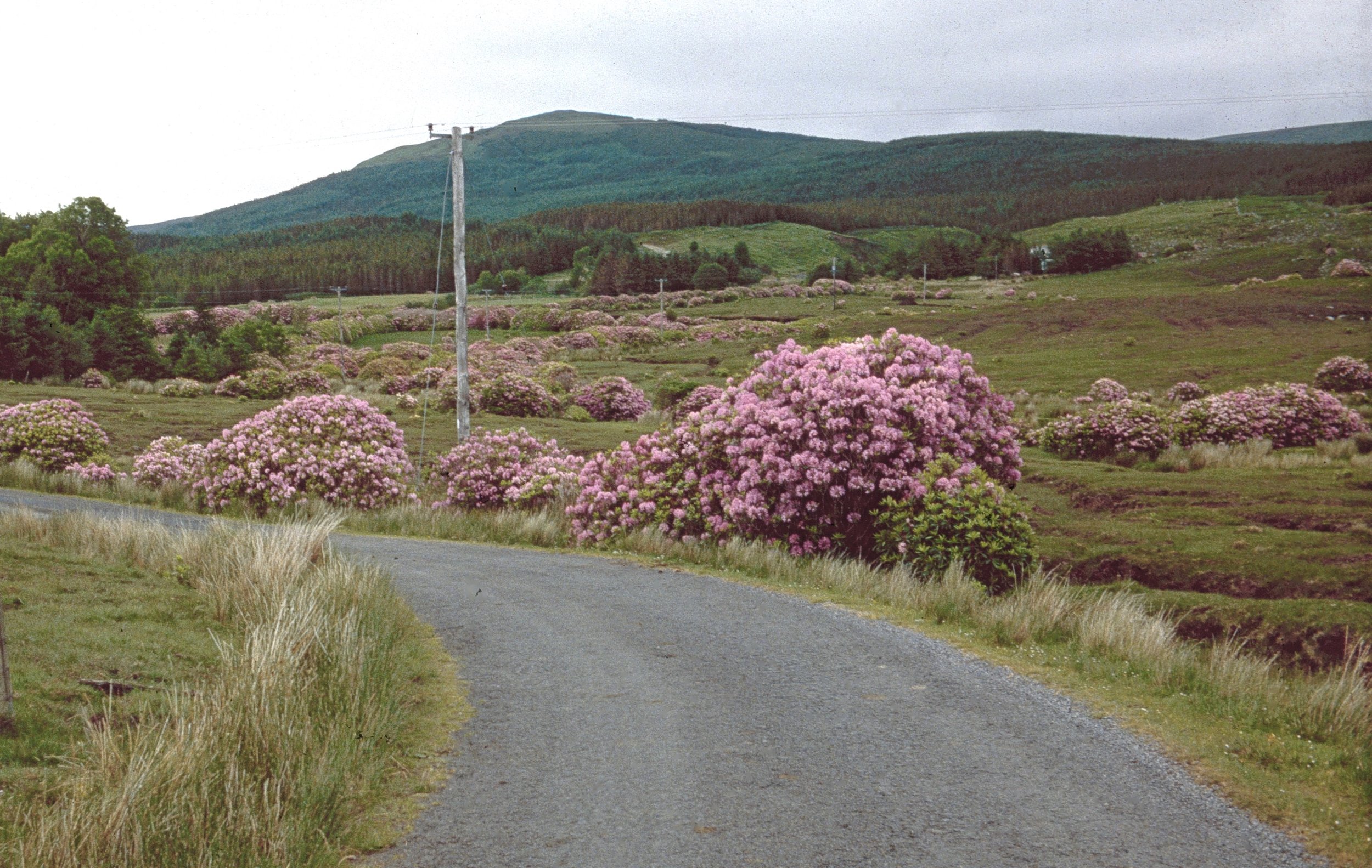
Wetland Surveys Ireland was commissioned by the Leenane Development Association to carry out a detailed survey of invasive plant species—focusing on Rhododendron (Rhododendron ponticum)—across the Bundorragha River catchment in County Mayo. The purpose of the survey is to inform eradication plans as part of The Bundorragha Catchment Rhododendron Control Project being headed by the Leenane Community Association (LCA). This project aims to develop and demonstrate a Rhododendron control programme for the entire Bundorragha river catchment, County Mayo. Being community led, the project aims to build capacity in the local community to equip them to tackle this major threat to local biodiversity.
Aim of the assignment
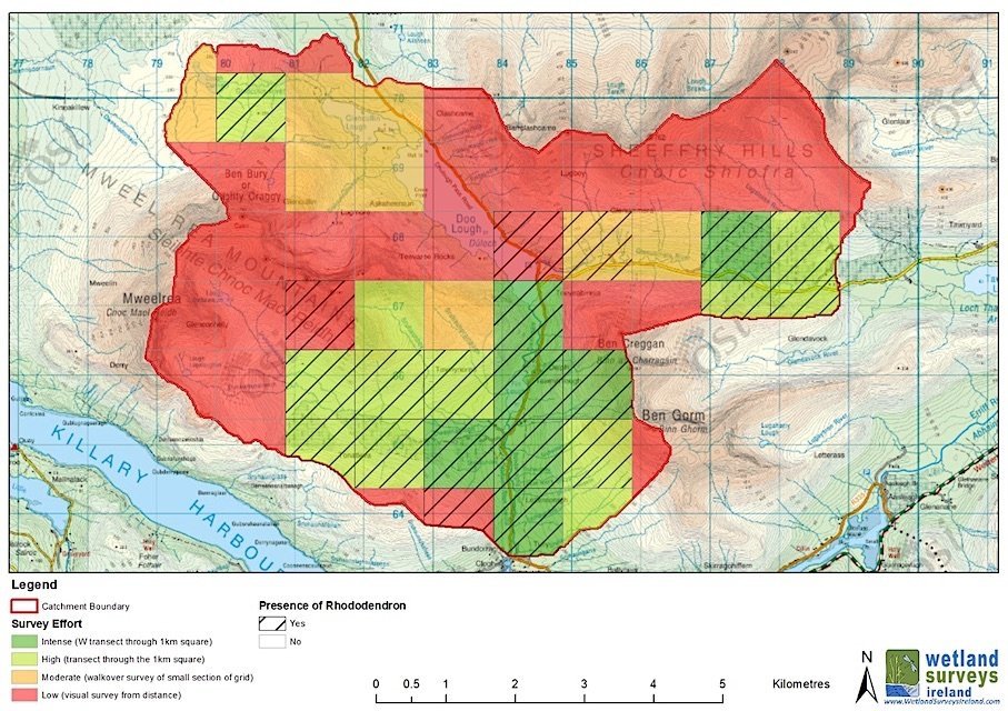
Identify and map the distribution and abundance of Rhododendron across the catchment
Provide reliable data to guide effective eradication and management strategies
Key activities
Desktop review: Identification of potential infestation zones using satellite imagery and historical data
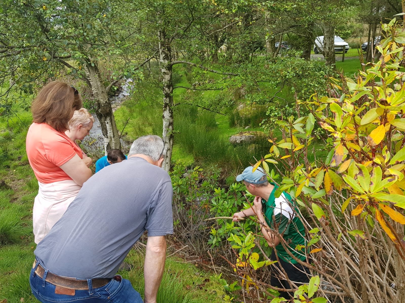
Field surveys: GPS-enabled fieldwork using technology solutions to record presence, extent, and severity
Mapping and reporting: Production of detailed maps and photographs
Outputs produced
Comprehensive mapping of Rhododendron across the Bundorragha Catchment
A robust dataset to inform phased control and monitoring efforts
Maps, photo catalogue, GIS files
WSI Team
Michael Chapman & Adam Van Mechelen
Key Info:
Date: Summer 2023
Client: Leenane Development Association
Funding: National Parks and Wildlife Service of the Department of Housing, Local Government and Heritage via LIFE IP Wild Atlantic Nature
Project Background
The Bundorragha is one of the most important catchments in Ireland for freshwater pearl mussel. Most farmers in this area are participating in the Pearl Mussel Project (PMP) European Innovation Partnership (EIP), a Results-based Agri-environment Payment Scheme (RBPS). The majority of the lands within the Bundorragha catchment are within the Natura 2000 network (Special Area of Conservation (SAC)).
Lands within the PMP programme are subject to annual assessment of habitat quality. Of the agricultural lands assessed in the programme, approximately 12% are recorded as being in sub-optimal condition due to the presence of the non-native invasive species, Rhododendron (Rhododendron ponticum).
The total catchment area covers 4,065ha of lands which comprise a mix of privately owned land and commonage.
It is envisaged that the approach developed during this project will provide a template of how similar projects could be run elsewhere in Ireland.
Further Information